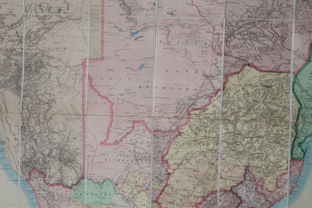
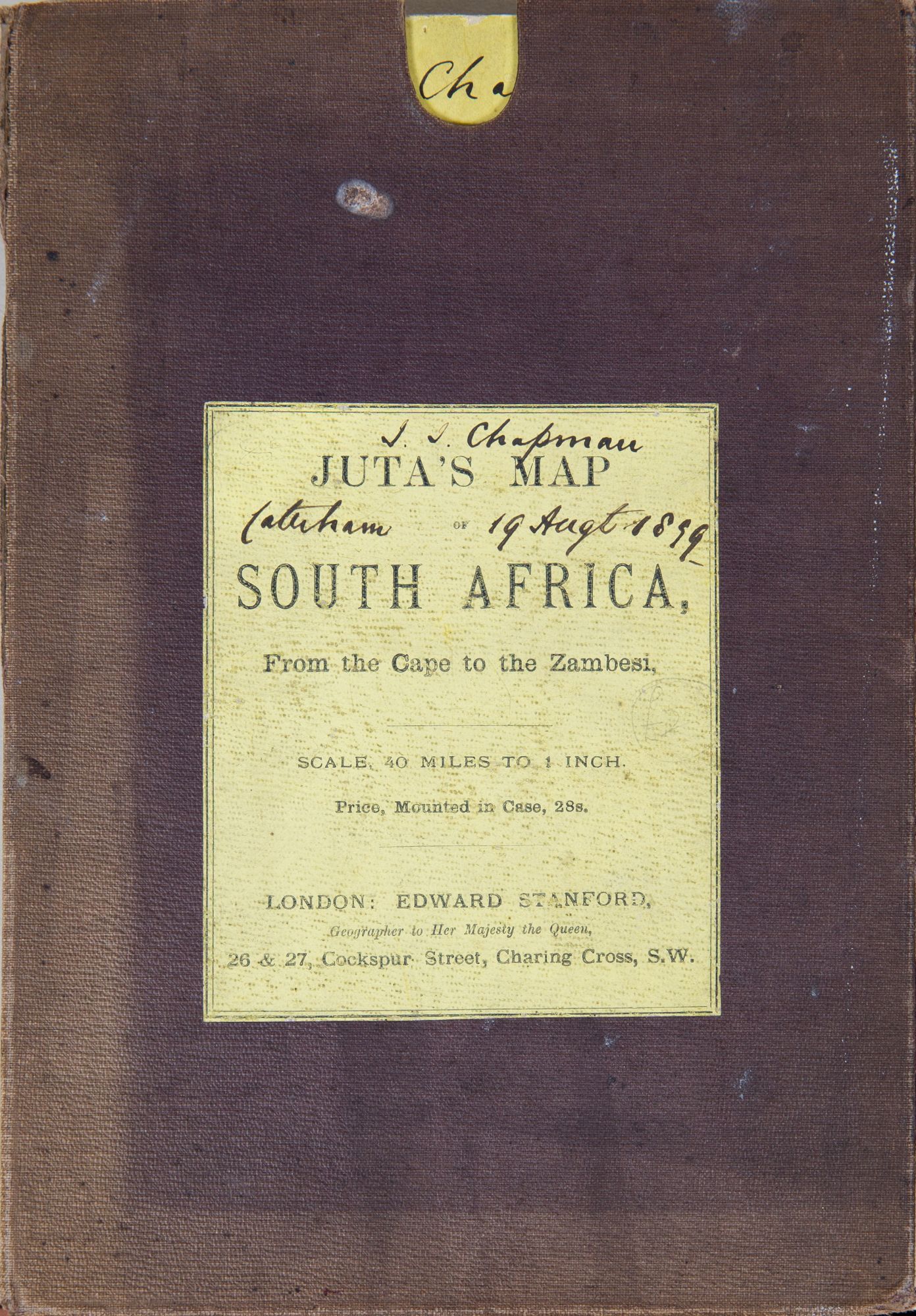

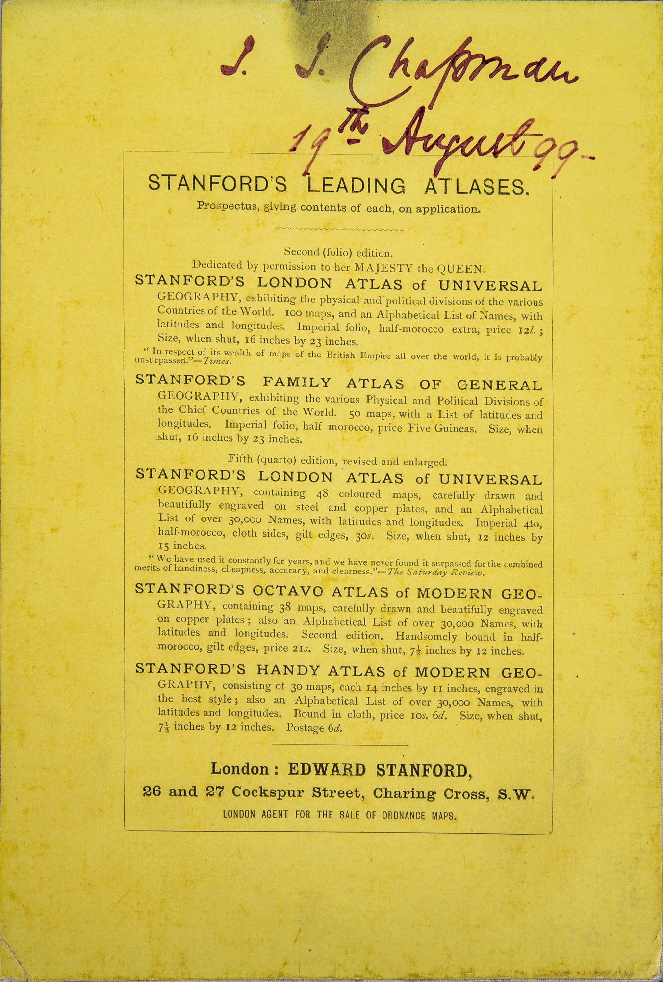
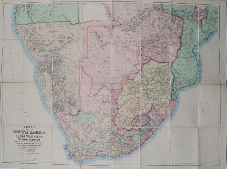
Juta's Map of South Africa
Cape Town: Juta, 1899. New and Revised. No Binding. from the Cape to the Zambesi compiled from the best avail. Colonial & Imperial info. incl. the official Cape Colony Map by the surveyor-general Cape Town, Dr Hahn's Damaraland and F C Selous' journals and sketches. New and revised ed. Folding linen backed colored map. Org case & label. 37 x 50 in. 40 mi to the in. Map fine; case shows slight wear. From 16 deg S Latitude to the tip of Southern Africa, Tremendous detail. 1899 London Stanford. Fine. Item #2443
Price: $500.00