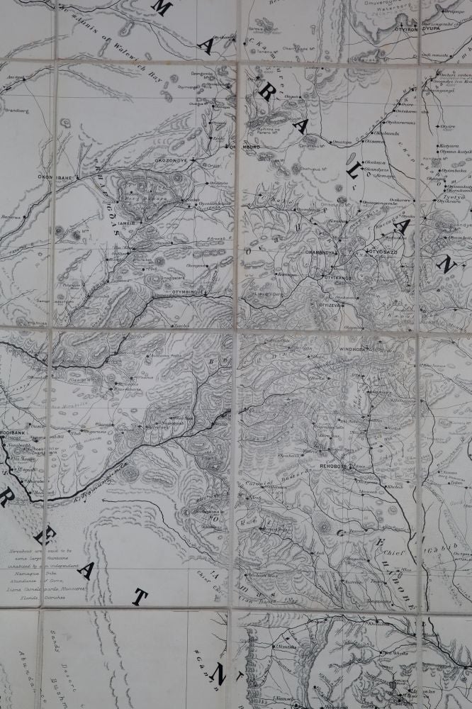
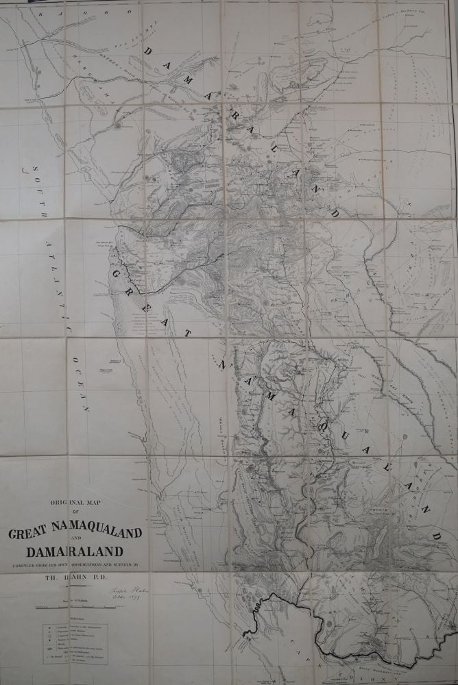
Original Map of Great Manaqualand and Damaraland
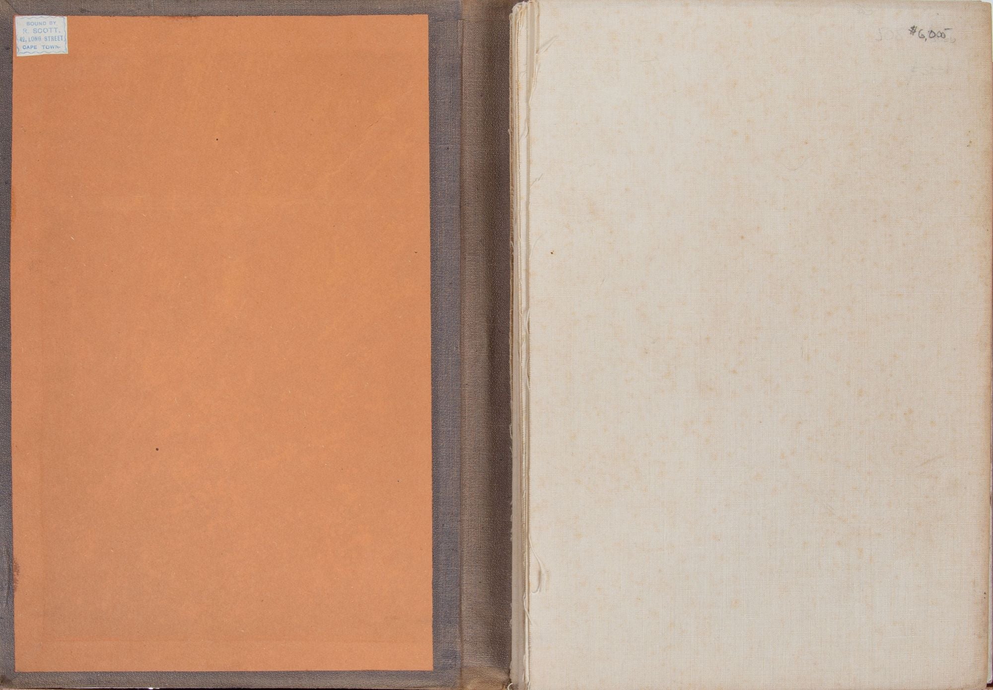
Cape Town: Surveyor Genl Cape Town, 1879. 1879. No Binding. Compiled by T Hahn PD Oct, 1879. FOlding linen backed map. Orig. cover. 62.5 x 42.5 in. 60 mi to the in. Map fine, cover faded. 13-20 deg. E longitude and 19030 deg. S latitude. Outstanding early map of this sparsely populated area. Mountains clearly shown in shaded relief. Elevations of major peaks given. All roads, settlements, & regions occupied by various Hottentot Tribes. 1879 Cape Town (lithographed at Surveyor General's office. Printed by Saul Solomon, Cape Town. Bound by R Scott Long St Cape Town. Fine. Item #2484
Price: $6,000.00
See all items in
Special Items,
Maps
See all items by Surveyor General