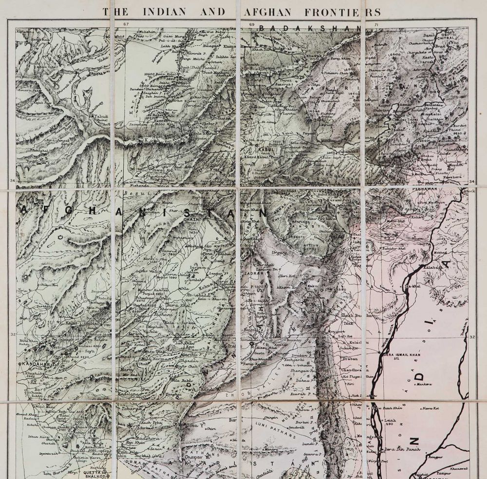
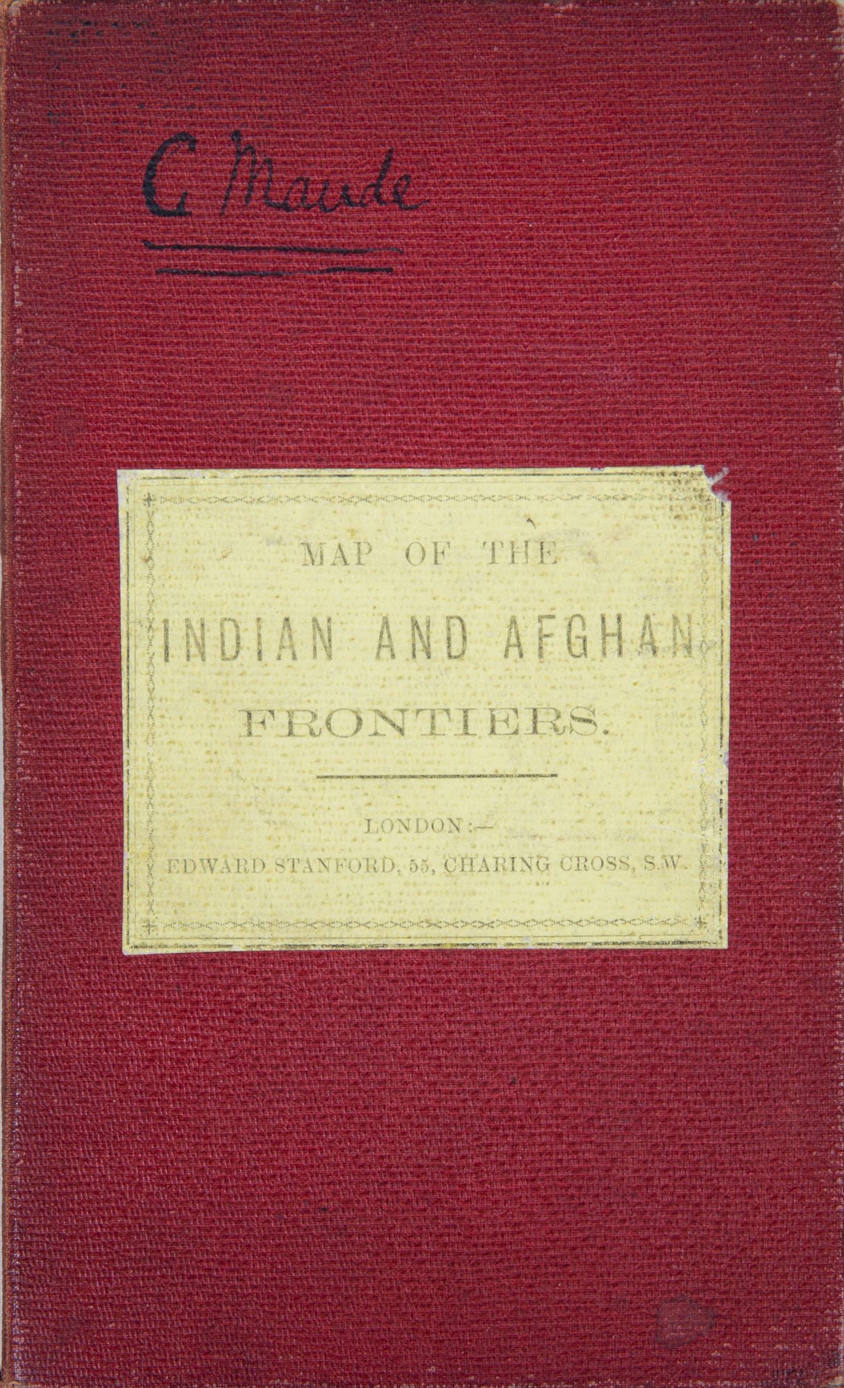
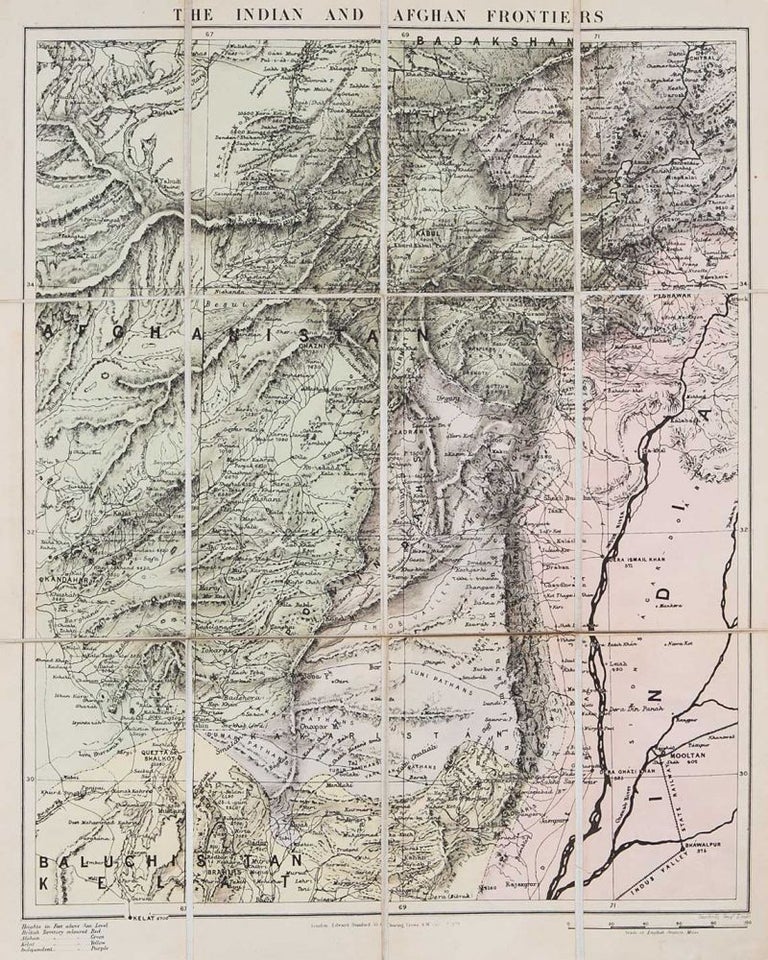
Indian and Afghan Frontiers
London: Stanford, 1878. 1878. No Binding. Cover title: Map of the Indian and Afghan Frontiers. Folding linen backed colored map. Orig board covers & label. 22.5 x 17.75 in. 52 mi to the in. Map vg+, covers bg. Kabul to Peshawar and south to Quetta. Area of great interest during Afghan wars. Good info on elevation of villages & mountains. Oct 1, 1878 London Stanford. VG. Item #2545
Price: $400.00
See all items in
Maps
See all items by E. Stanford